Newcastle City Council
Tree preservation zone
There is a problem
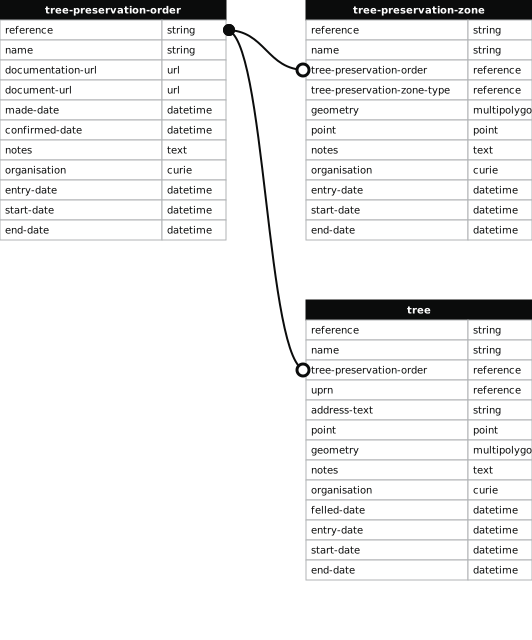
- 1000 entries with tree-preservation-order field must match the reference field in the tree preservation order dataset
Land at the Junction of West Road and Denhill Park
- reference
- 2019/005.G1
- name
- Land at the Junction of West Road and Denhill Park
- tree-preservation-order
- 2019/005
- tree-preservation-zone-type
- group
- geometry
- MULTIPOLYGON (((-1.663798 54.977175,-1.663942 54.977209,-1.663975 54.977219,-1.664004 54.977224,-1.664031 54.977226,-1.664069 54.977222,-1.664103 54.977211,-1.664116 54.977203,-1.664163 54.977129,-1.664170 54.977104,-1.664168 54.977093,-1.664155 54.977074,-1.664027 54.977007,-1.664015 54.976999,-1.663995 54.976981,-1.663881 54.977011,-1.663798 54.977175)))
- point
- POINT (-1.663989 54.977114)
- notes
- These data are update live via a feed to NCC's Tree Managament System, EzyTreev
- entry-date
- 2022-07-01
- start-date
- 2019-03-29
- end-date
How to fix this issue
Your data is missing a tree-preservation-order.
The tree preservation zone guidance explains how to fix the issue:
tree-preservation-order
The reference for the tree preservation order that covers this zone.
How to improve Newcastle City Council’s data
- Fix the errors indicated
- Use the check service to make sure the data meets the standard
- Publish the updated data on the endpoint URL